-
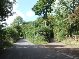
Junction of Warren Lane and Magpie Lane, Yelsted
-
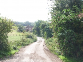
Cradles Road, near Hartlip
Junction of Warren Lane and Magpie Lane, Yelsted
Cradles Road, near Hartlip
Location and coordinates are for the approximate centre of Queen Down Warren within this administrative area. Geographic features and populated places may cross administrative borders.