-
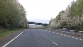
A21 Tonbridge Bypass
-
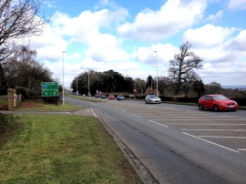
London Road, near Southborough
A21 Tonbridge Bypass
London Road, near Southborough
Location and coordinates are for the approximate centre of Quarry Hill Wood within this administrative area. Geographic features and populated places may cross administrative borders.