-
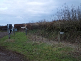
Roadsigns at Summerway Cross
-
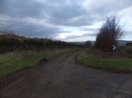
Hare Path, a bridleway near Wheddon Cross
Roadsigns at Summerway Cross
Hare Path, a bridleway near Wheddon Cross
Location and coordinates are for the approximate centre of Quarme Combe Plantation within this administrative area. Geographic features and populated places may cross administrative borders.