-
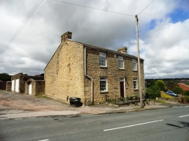
The White House, Quaking Houses
-

Road leading into Quaking Houses
The White House, Quaking Houses
Road leading into Quaking Houses
Location and coordinates are for the approximate centre of Quaking Houses within this administrative area. Geographic features and populated places may cross administrative borders.