-
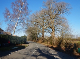
Mature Oaks along Pyrford Road
-
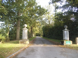
The entrance to Pyrford Manor on Warren Lane
Mature Oaks along Pyrford Road
The entrance to Pyrford Manor on Warren Lane
Other current and historical names
Location and coordinates are for the approximate centre of Pyrford Green within this administrative area. Geographic features and populated places may cross administrative borders.