-
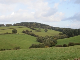
Puddleston Dingle
-
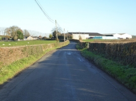
Road approaching Alderwood Farm
Puddleston Dingle
Road approaching Alderwood Farm
Location and coordinates are for the approximate centre of Pudleston Dingle within this administrative area. Geographic features and populated places may cross administrative borders.