-

Minor road to Tyneham
-
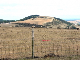
Sheep Grazing on Povington Hill
Minor road to Tyneham
Sheep Grazing on Povington Hill
Location and coordinates are for the approximate centre of Povington Wood within this administrative area. Geographic features and populated places may cross administrative borders.