-
Cormorants on flat rocks west of Porth Ysglaig
-
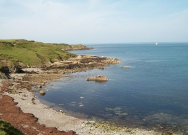
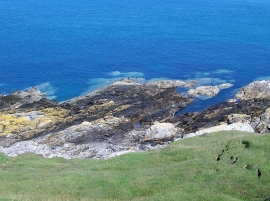
View west across Porth Ysglaig
Cormorants on flat rocks west of Porth Ysglaig
View west across Porth Ysglaig
Location and coordinates are for the approximate centre of Porth Ysglaig within this administrative area. Geographic features and populated places may cross administrative borders.