-
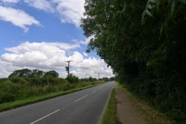
B668 Cottesmore Road leaving Burley for Cottesmore
-

'Corner Cottage'
B668 Cottesmore Road leaving Burley for Cottesmore
'Corner Cottage'
Location and coordinates are for the approximate centre of Poor Close Covert within this administrative area. Geographic features and populated places may cross administrative borders.