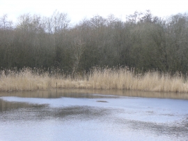
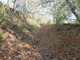
Pit Shaw, West Sussex

« Gazetteer Entry
Upload Photo

Pit Shaw, West Sussex

  • Parish/Community: West Hoathly
  • District/Borough: Mid Sussex
  • County: West Sussex
  • Region: South East
  • Category: Landcover
  • Type: Forest or Wood
  • Latitude/Longitude: 51°5'39"N 0°2'6"W
  • Eastings/Northings: 537684, 134604
  • OS Grid: TQ376346
  • Mapcode Local: GBR KM9.9X5
  • Mapcode Global: FRA B6T7.83Z

Location and coordinates are for the approximate centre of Pit Shaw within this administrative area. Geographic features and populated places may cross administrative borders.

BritishPlaceNames.uk is a Good Stuff website.