-
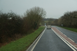
A40 eastbound towards Canaston Bridge
-
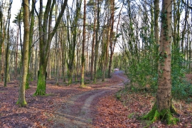
Minwear Woods
A40 eastbound towards Canaston Bridge
Minwear Woods
Location and coordinates are for the approximate centre of Pickle Wood within this administrative area. Geographic features and populated places may cross administrative borders.