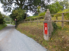
Perkin's Village, Devon

« Gazetteer Entry
Upload Photo

Perkin's Village, Devon

  • Parish/Community: Aylesbeare
  • District/Borough: East Devon
  • County: Devon
  • Region: South West
  • Category: Populated Place
  • Type: Hamlet
  • Latitude/Longitude: 50°42'55"N 3°22'51"W
  • Eastings/Northings: 302603, 91547
  • OS Grid: SY026915
  • Mapcode Local: GBR P4.SJHT
  • Mapcode Global: FRA 37T6.0MZ

Location and coordinates are for the approximate centre of Perkin's Village within this administrative area. Geographic features and populated places may cross administrative borders.

BritishPlaceNames.uk is a Good Stuff website.