-
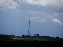
Mast near to Barkway
-
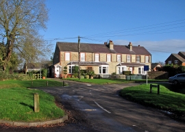
Reed: the corner of Crow Lane
Mast near to Barkway
Reed: the corner of Crow Lane
Location and coordinates are for the approximate centre of Periwinkle Hill within this administrative area. Geographic features and populated places may cross administrative borders.