-

Chiltern Link public footpath to Chesham
-
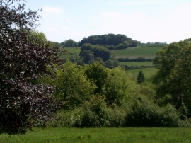
View of the Chilterns from Lowndes Park
Chiltern Link public footpath to Chesham
View of the Chilterns from Lowndes Park
Location and coordinates are for the approximate centre of Pednor Bottom within this administrative area. Geographic features and populated places may cross administrative borders.