-
Cranemoor Lake Englefield
-
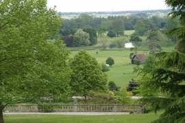
Englefied Park from Parker's Corner
Cranemoor Lake Englefield
Englefied Park from Parker's Corner
Location and coordinates are for the approximate centre of Parker's Corner within this administrative area. Geographic features and populated places may cross administrative borders.