-
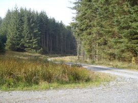
Track junction near Roundfell
-
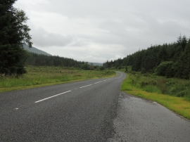
Road to Newton Stewart
Track junction near Roundfell
Road to Newton Stewart
Location and coordinates are for the approximate centre of Palfern Burn within this administrative area. Geographic features and populated places may cross administrative borders.