-
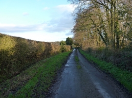
From Oulton back towards Norbury
-
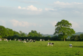
Grazing south of Norbury Junction, Staffordshire
From Oulton back towards Norbury
Grazing south of Norbury Junction, Staffordshire
Location and coordinates are for the approximate centre of Oulton Coppice within this administrative area. Geographic features and populated places may cross administrative borders.