-
Little Bayham
-
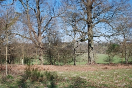
Trees at Little Bayham
Little Bayham
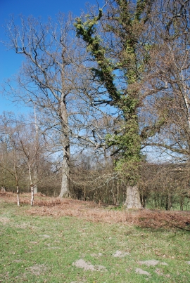
Trees at Little Bayham
Location and coordinates are for the approximate centre of Osprey Island within this administrative area. Geographic features and populated places may cross administrative borders.