-
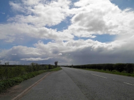
Lay-by on Sleaford Road
-
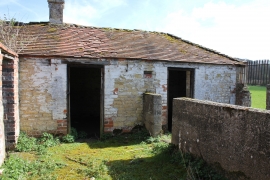
The Kennels, Main Road, Leadenham
Lay-by on Sleaford Road
The Kennels, Main Road, Leadenham
Location and coordinates are for the approximate centre of Old Wood within this administrative area. Geographic features and populated places may cross administrative borders.