-
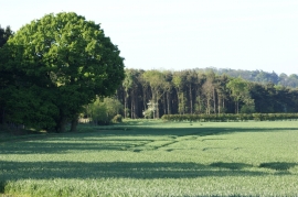
Farmland west of Hurn Wood, Syston
-
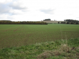
View from Cliff Lane
Farmland west of Hurn Wood, Syston
View from Cliff Lane
Location and coordinates are for the approximate centre of Ogden's Wood within this administrative area. Geographic features and populated places may cross administrative borders.