-
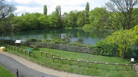
Bayleys Pool, Toll End Road, Tipton
-
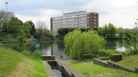
Bayleys Pool, Tipton
Bayleys Pool, Toll End Road, Tipton
Bayleys Pool, Tipton
Location and coordinates are for the approximate centre of Ocker Hill within this administrative area. Geographic features and populated places may cross administrative borders.