-
View by Gangsdown Hill, Nuffield
-

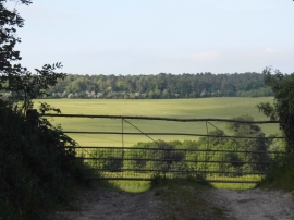
Field entrance by Gangsdown Hill
View by Gangsdown Hill, Nuffield
Field entrance by Gangsdown Hill
Location and coordinates are for the approximate centre of Oakengrove Copse within this administrative area. Geographic features and populated places may cross administrative borders.