-
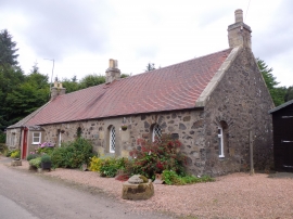
Cottage by Mountquhanie Home Farm
-
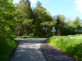
Minor road junction
Cottage by Mountquhanie Home Farm
Minor road junction
Location and coordinates are for the approximate centre of Oak Belt within this administrative area. Geographic features and populated places may cross administrative borders.