-
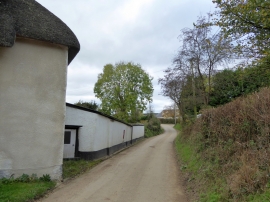
Wall with Victorian wallbox in Nymet Rowland
-
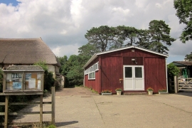
Village hall, Nymet Rowland
Wall with Victorian wallbox in Nymet Rowland
Village hall, Nymet Rowland
Location and coordinates are for the approximate centre of Nymet Rowland within this administrative area. Geographic features and populated places may cross administrative borders.