-
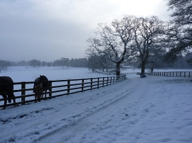
After the snow shower
-
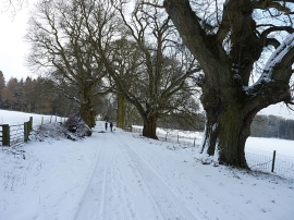
Bridleway on Burwarton estate
After the snow shower
Bridleway on Burwarton estate
Location and coordinates are for the approximate centre of Nursery Wood within this administrative area. Geographic features and populated places may cross administrative borders.