-
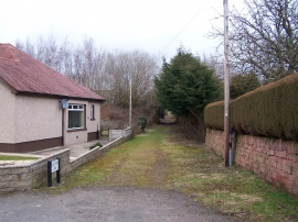
Tom Train Lane, Dumfries
-
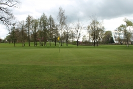
Dumfries & County Golf Course
Tom Train Lane, Dumfries
Dumfries & County Golf Course
Location and coordinates are for the approximate centre of Nunholm within this administrative area. Geographic features and populated places may cross administrative borders.