-

Renishaw Hall; courtyard
-
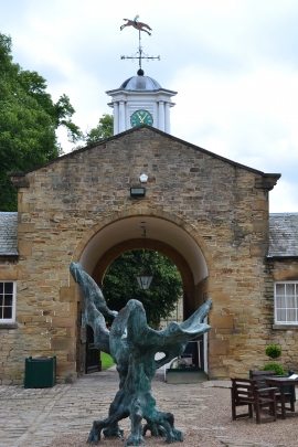
Statue in the stable-yard, Renishaw Hall
Renishaw Hall; courtyard
Statue in the stable-yard, Renishaw Hall
Location and coordinates are for the approximate centre of North Wood within this administrative area. Geographic features and populated places may cross administrative borders.