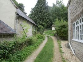
North Hill Plantation, Dorset

« Gazetteer Entry
Upload Photo

North Hill Plantation, Dorset

  • Built-Up Area: Winterbourne Abbas
  • Parish/Community: Winterbourne Steepleton
  • District/Borough: West Dorset
  • County: Dorset
  • Region: South West
  • Category: Landcover
  • Type: Forest or Wood
  • Latitude/Longitude: 50°42'38"N 2°31'24"W
  • Eastings/Northings: 363138, 90244
  • OS Grid: SY631902
  • Mapcode Local: GBR PW.FW01
  • Mapcode Global: FRA 57L6.JQ1

Location and coordinates are for the approximate centre of North Hill Plantation within this administrative area. Geographic features and populated places may cross administrative borders.

BritishPlaceNames.uk is a Good Stuff website.