-
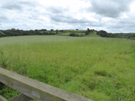
Fields south of road east of Old Ford
-
Mid Devon : Countryside Scenery
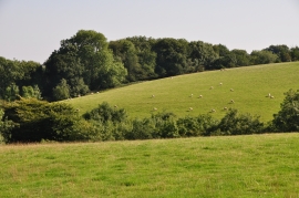
Fields south of road east of Old Ford
Mid Devon : Countryside Scenery
Location and coordinates are for the approximate centre of North Close Copse within this administrative area. Geographic features and populated places may cross administrative borders.