-
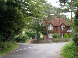
Houses between Courtenay Road & Dargate Road
-
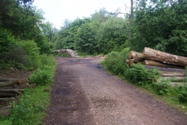
Piles of logs by New Road
Houses between Courtenay Road & Dargate Road
Piles of logs by New Road
Location and coordinates are for the approximate centre of North Bishopden Wood within this administrative area. Geographic features and populated places may cross administrative borders.