-

Skelton Broad Lane
-
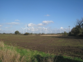
View of Sixpenny Wood wind farm
Skelton Broad Lane
View of Sixpenny Wood wind farm
Location and coordinates are for the approximate centre of Nine Acre Plantn within this administrative area. Geographic features and populated places may cross administrative borders.