-

Nigg Ferry Hotel
-
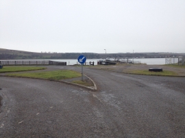
Roundabout at Nigg Ferry
Nigg Ferry Hotel
Roundabout at Nigg Ferry
Location and coordinates are for the approximate centre of Nigg Ferry within this administrative area. Geographic features and populated places may cross administrative borders.