-
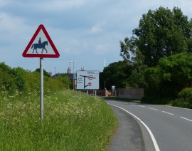
Botcheston Road in Newton Unthank
-
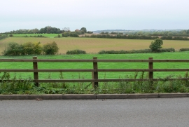
Farmland viewed from Station Road
Botcheston Road in Newton Unthank
Farmland viewed from Station Road
Location and coordinates are for the approximate centre of Newtown Unthank within this administrative area. Geographic features and populated places may cross administrative borders.