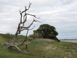
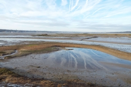
Newmill Creek, Suffolk

« Gazetteer Entry
Upload Photo

Newmill Creek, Suffolk

  • Parish/Community: Stutton
  • District/Borough: Babergh
  • County: Suffolk
  • Region: Eastern
  • Category: Water Feature
  • Type: Other Water Feature
  • Latitude/Longitude: 51°56'59"N 1°6'19"E
  • Eastings/Northings: 613500, 232500
  • OS Grid: TM135325
  • Mapcode Local: GBR TNZ.Q8D
  • Mapcode Global: VHLCC.37QZ

Location and coordinates are for the approximate centre of Newmill Creek within this administrative area. Geographic features and populated places may cross administrative borders.

BritishPlaceNames.uk is a Good Stuff website.