-
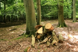
Logs by the Bridleway
-
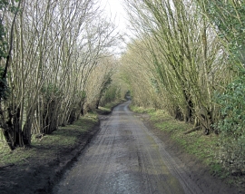
Benhams Lane passes through a coppice
Logs by the Bridleway
Benhams Lane passes through a coppice
Location and coordinates are for the approximate centre of Newman's Hill Wood within this administrative area. Geographic features and populated places may cross administrative borders.