-
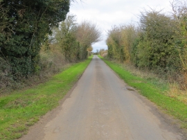
Road between Calmsden and Pinkwell
-
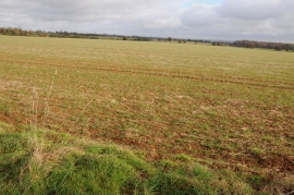
Arable field near Ashwell Lodge
Road between Calmsden and Pinkwell
Arable field near Ashwell Lodge
Location and coordinates are for the approximate centre of Newman's Covert within this administrative area. Geographic features and populated places may cross administrative borders.