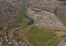
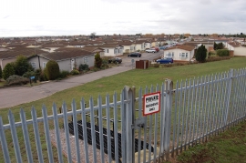
Newlands, Essex

« Gazetteer Entry
Upload Photo

Newlands, Essex

  • Built-Up Area: Canvey Island
  • Parish/Community: Canvey Island
  • District/Borough: Castle Point
  • County: Essex
  • Region: Eastern
  • Category: Populated Place
  • Type: Suburban Area
  • Latitude/Longitude: 51°31'30"N 0°36'37"E
  • Eastings/Northings: 581180, 183935
  • OS Grid: TQ811839
  • Mapcode Local: GBR QPK.C40
  • Mapcode Global: VHJL3.JXJM

Location and coordinates are for the approximate centre of Newlands within this administrative area. Geographic features and populated places may cross administrative borders.

BritishPlaceNames.uk is a Good Stuff website.