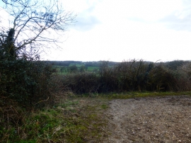
Newland's Copse, Hampshire

« Gazetteer Entry
Upload Photo

Newland's Copse, Hampshire

  • Parish/Community: Froxfield and Privett
  • District/Borough: East Hampshire
  • County: Hampshire
  • Region: South East
  • Category: Landcover
  • Type: Forest or Wood
  • Latitude/Longitude: 51°2'15"N 1°2'37"W
  • Eastings/Northings: 467142, 126921
  • OS Grid: SU671269
  • Mapcode Local: GBR B98.T33
  • Mapcode Global: FRA 86PC.R6F

Location and coordinates are for the approximate centre of Newland's Copse within this administrative area. Geographic features and populated places may cross administrative borders.

BritishPlaceNames.uk is a Good Stuff website.