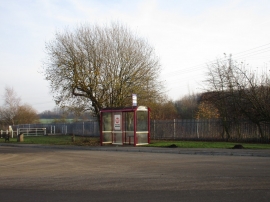
New Fryston, Wakefield

« Gazetteer Entry
Upload Photo

New Fryston, Wakefield

Other current and historical names

  • Fryston, New
  • Parish/Community: Wakefield, unparished area
  • Unitary Authority: Wakefield
  • Region: Yorkshire and The Humber
  • Category: Populated Place
  • Type: Suburban Area
  • Latitude/Longitude: 53°44'11"N 1°18'48"W
  • Eastings/Northings: 445382, 426915
  • OS Grid: SE453269
  • Mapcode Local: GBR MT87.F7
  • Mapcode Global: WHDC0.SBQR

Location and coordinates are for the approximate centre of New Fryston within this administrative area. Geographic features and populated places may cross administrative borders.

BritishPlaceNames.uk is a Good Stuff website.