-
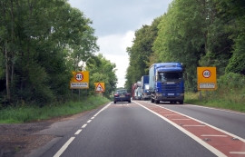
A417 entering Nettleton
-
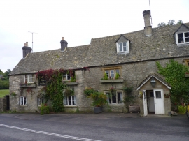
The Golden Heart Inn, Nettleton, Glos
A417 entering Nettleton
The Golden Heart Inn, Nettleton, Glos
Location and coordinates are for the approximate centre of Nettleton Plantation within this administrative area. Geographic features and populated places may cross administrative borders.