-
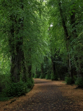
Path leading into Linn Park
-
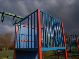
Playpark platform
Path leading into Linn Park
Playpark platform
Other current and historical names
Location and coordinates are for the approximate centre of Netherlee within this administrative area. Geographic features and populated places may cross administrative borders.