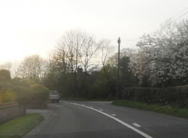
Netherland Green, Staffordshire

« Gazetteer Entry
Upload Photo

Netherland Green, Staffordshire

  • Parish/Community: Marchington
  • District/Borough: East Staffordshire
  • County: Staffordshire
  • Region: West Midlands
  • Category: Populated Place
  • Type: Other Settlement
  • Latitude/Longitude: 52°52'18"N 1°50'43"W
  • Eastings/Northings: 410500, 330500
  • OS Grid: SK105305
  • Mapcode Local: GBR 38Z.VN9
  • Mapcode Global: WHCFW.M2FP

Location and coordinates are for the approximate centre of Netherland Green within this administrative area. Geographic features and populated places may cross administrative borders.

BritishPlaceNames.uk is a Good Stuff website.