-
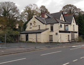
No hope for the Hope & Anchor in Neath Abbey?
-
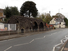
Remains of Neath Abbey gatehouse viewed from the west
No hope for the Hope & Anchor in Neath Abbey?
Remains of Neath Abbey gatehouse viewed from the west
Location and coordinates are for the approximate centre of Neath Abbey within this administrative area. Geographic features and populated places may cross administrative borders.