-
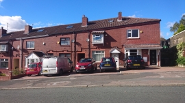
Furze Lane, Watersheddings
-
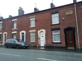
Beaconsfield Terrace on Ripponden Road, Oldham
Furze Lane, Watersheddings
Beaconsfield Terrace on Ripponden Road, Oldham
Location and coordinates are for the approximate centre of Near Barrowshaw within this administrative area. Geographic features and populated places may cross administrative borders.