-
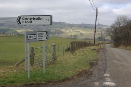
B5435 to Nantglyn
-
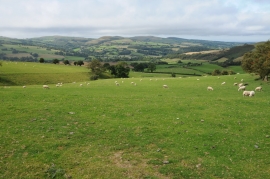
Farmland above Nantglyn
B5435 to Nantglyn
Farmland above Nantglyn
Location and coordinates are for the approximate centre of Nantglyn within this administrative area. Geographic features and populated places may cross administrative borders.