-
Farmland and woodland in Denbighshire
-

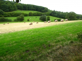
Grazing land and woodland south of Bryn Gronwy
Farmland and woodland in Denbighshire
Grazing land and woodland south of Bryn Gronwy
Location and coordinates are for the approximate centre of Nant y Pryf within this administrative area. Geographic features and populated places may cross administrative borders.