-

Farm Buildings at Bryn-y-Fro
-
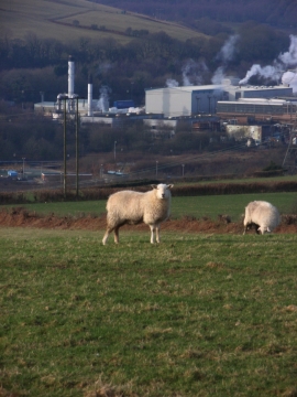
Paper mill in the Llynfi Valley
Farm Buildings at Bryn-y-Fro
Paper mill in the Llynfi Valley
Location and coordinates are for the approximate centre of Nant y Gadlys within this administrative area. Geographic features and populated places may cross administrative borders.