-
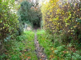
Bridleway near Glascoed Hall
-
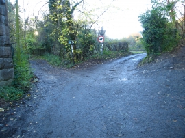
Junction of paths west of Ffrith
Bridleway near Glascoed Hall
Junction of paths west of Ffrith
Location and coordinates are for the approximate centre of Nant y Ffrith Nant Wood within this administrative area. Geographic features and populated places may cross administrative borders.