-

Former post office, Nancegollan
-
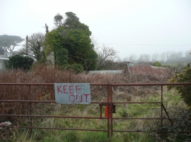
Ruin at Nancegollan
Former post office, Nancegollan
Ruin at Nancegollan
Location and coordinates are for the approximate centre of Nancegollan within this administrative area. Geographic features and populated places may cross administrative borders.