-
Fingerpost along Public Footpath
-

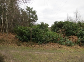
Steep Wood Bluebells
Fingerpost along Public Footpath
Steep Wood Bluebells
Location and coordinates are for the approximate centre of Nance Copse within this administrative area. Geographic features and populated places may cross administrative borders.